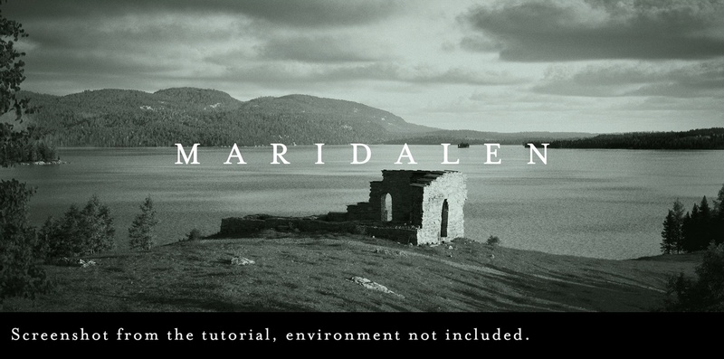
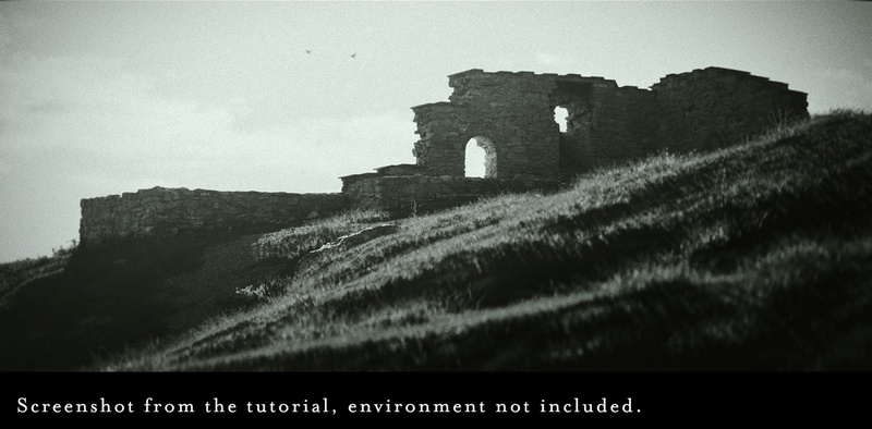
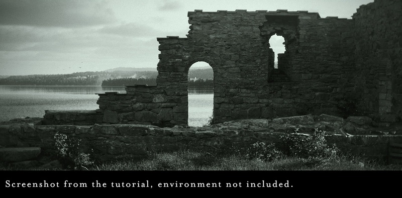
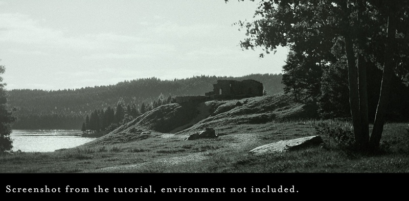
Maridalen Ruins – Unreal Engine
The Maridalen Ruins project is the result of a 3D Scan (Photogrammetry) from a real location found on the outskirts of Oslo, Norway. This is a free project that was created for the “Capturing Oslo’s Medieval Ruins”
Included in the project are the following:
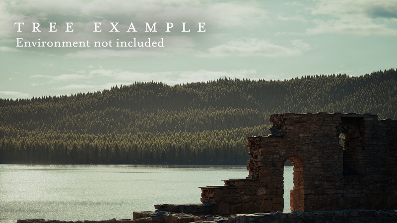
Maridalen Ruins Scan
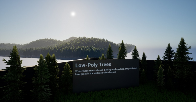
Low Poly trees intended for distant background use
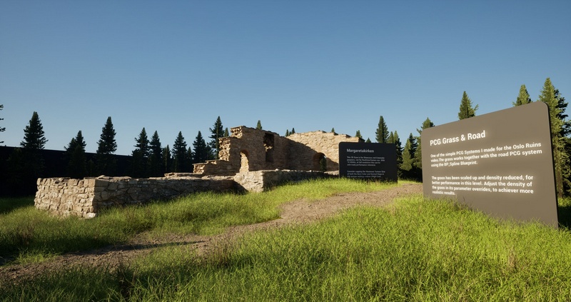
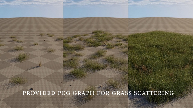
PCG Systems used for grass and roads shown in the video.
In regards to provided PCG Graphs, Megascans assets cannot be redistributed, so the Megascans Grass Meshes have been replaced with Placeholders. By opening the PCG graphs you can replace the placeholders with your own free megascans assets from FAB.
Technical details:
Number of Unique Meshes: 9
Collision: No
LODs: Nanite
Number of LODs: (Please list the range of LODs)
Rigged: No
Number of Materials:6
Number of Material Instances: 1
Number of Textures: 11
Supported Development Platforms:
Windows: Yes
Mac: Yes
Supported Unreal Engine Versions: 5.7


Recent Comments